

The C&O Canal Scenic Byway
Originally built to move goods from Washington DC to the west, the Chesapeake & Ohio Canal is now a hub of recreational activity, with hiking, biking, bird watching, horse-back riding and more. Williamsport, MD is its geographical center, and visitors here can experience the Canal first-hand with ranger-led boat rides and towpath tours. Stay at a Lock House to experience life as it was “back in the day” and scarf up a healthy lunch at Desert Rose Cafe while there. In Hancock, MD, visitors can pick up the Rail Trail, a paved portion that runs alongside the towpath, to Fort Frederick State Park. But first, grab some pie at Weaver’s Restaurant or the Blue Goose Fruit Market & Bakery!
236 miles – Allow 4 hours to drive the byway
Workers who toiled on the Chesapeake & Ohio Canal between 1828 and 1859 could not have imagined that their engineering feat – designed for the sole purpose of speeding up commercial trade – would one day become a hub of outdoor recreational activity. Hiking, biking, bird watching and mule-drawn barge rides are among the many popular pursuits now enjoyed beside this peaceful passage.
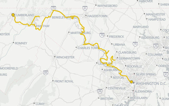
During its century of service, the canal worked with a system of 74 lift locks that regulated water levels, allowing boats laden with coal, flour, lumber, grain and produce to be pulled by mule trams walking on an adjacent towpath. Their 184.5-mile journey stretched from the mountains of Western Maryland, through farmland and forest, to the tidewater outskirts of our nation’s capital. Your journey follows this same course, allowing you to make heritage discoveries along each new mile.

The Antietam Campaign Scenic Byway
The “Bloodiest Single-day of Battle” of the Civil War took place at Antietam, near Sharpsburg. Park living history programs at Antietam National Battlefield provide a glimpse into the lives of Civil War soldiers. Learn about Civil War medicine at the Pry House Museum. Annual events include an Independence Day concert and December’s Antietam Memorial Illumination, with 23,110 lights placed along a five-mile driving route.
As the autumn of 1862 approached, President Abraham Lincoln felt he needed a decisive Union victory to ensure that there would be support for a yet-to-be-announced proclamation freeing the slaves. It’s still debatable just how decisive the slaughter at Antietam – remembered as “The Bloodiest Single Day of the Civil War” – truly was. By sheer numbers, the Sept. 17 battle ended in a draw, with 10,7000 Confederates and 12,4000 Union soldiers killed, wounded or missing in action. However, General George McClellan’s Union army thwarted the Rebel advance north, and a few days after the cannons fell silent, Lincoln visited the battlefield.
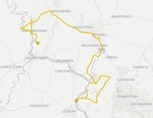
This byway roughly follows the chronology of events beginning Sept. 4, as General Robert E. Lee and his Army of Northern Virginia crossed the Potomac River into Maryland, and ending two weeks later as Lee’s forces limped back into West Virginia. The byway brings you face to face with both familiar and lesser-known Civil War stories, while also placing you among breathtaking scenery and convenient recreational opportunities.
126 miles – Allow 4 hours to drive the byway.

